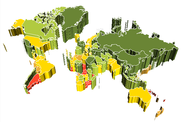
3D map view is available if displaying a 3D map is set up for a source express report.
To enable 3D map view, map dimension element with the Height metric.
To return to 2D mode, deselect the Height checkbox in the dimension element.
TIP. You do not need to search for the selected element, just select any element and deselect this checkbox for it.
Example of a 3D map:

A map can be rotated by gestures.
To set up height scale:
Tap the  button at the top right corner.
In the dialog box that opens select the Height Scale item.
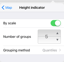
The dialog box with scale settings opens:

The following settings are available:
By Scale. Enable the switch button to enable the Number of Groups and Grouping Method settings.
Number of Groups. Determine the number of groups to divide the values of the selected metric.
Grouping Method. Determine how the values are divided into groups:
Quantiles. The entire data range is divided into the specified number of groups, containing the equal number of units of different length.
Equal. The entire data range is divided into the specified number of groups of the same length.
See also: