Territory outline enables the user to show borders of parent territory on the map when several child elements of the territory dimension are selected.
To show territory outlines, all requirements from the Requirements for Showing Territory Outlines section should be met.
NOTE. Showing territory outlines is not available in the Time Series Analysis tool.
To show territory outlines:
Select one or more elements of one level of the territory dimension.
Select one or more child elements for already selected elements.
The map will display territory outlines according to the selection made in the territory dimension.
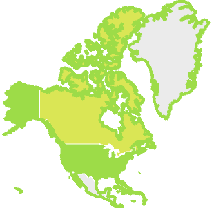
For example, in the territory dimension the North America element and its child elements are selected:
Map with territory outlines:
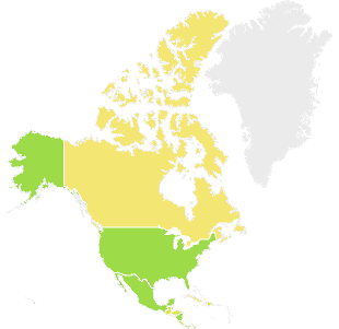
Map without territory outlines:
See also:
Setting Up Map | Map Advanced Features