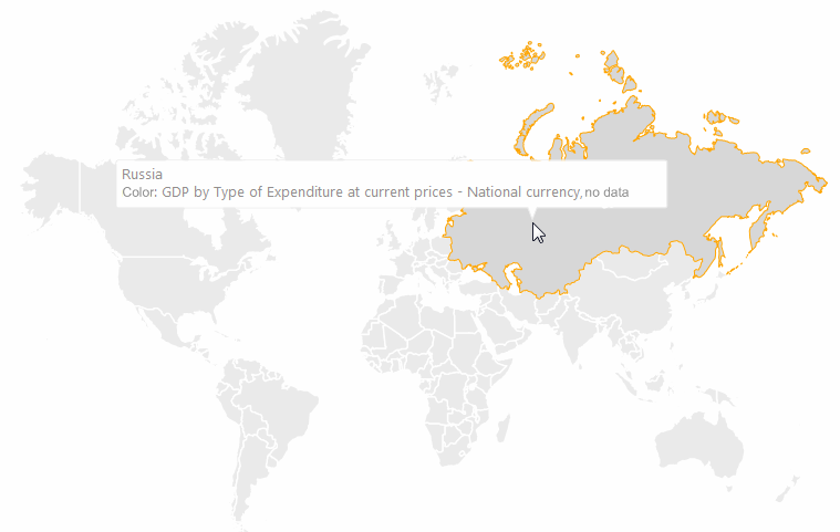
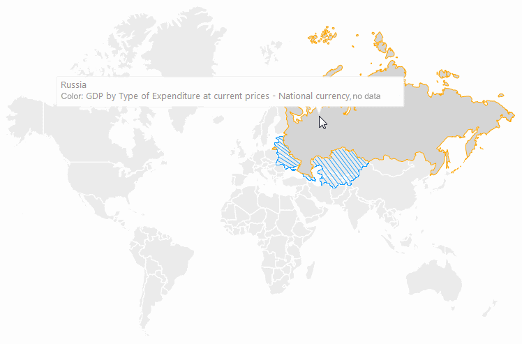
Version map shows territory border changes with time. For example, separating one country into several new countries or changing subject borders in one country.
Map version is changed automatically depending on the year used for information displaying.
To show version map, all requirements of the Requirements for Showing Version Map section should be met.
NOTE. Showing version map is not available in the Time Series Analysis tool.
Examples of version map:
1990:
See also:
Map Advanced Features | Requirements for Showing Version Map